Using Nature-Based Solutions, Community Engagement, and Technology to Foster Climate Resiliency
By Josh Bradt, San Francisco Estuary Partnership
A Research Advisory Committee member contribution to Dispatches from the Challenge
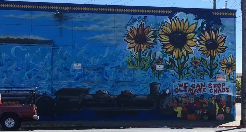
The ongoing impacts of climate change in California include extended droughts, record-breaking high temperatures, reduced snow packs, and increasingly ferocious wildfires. The San Francisco Bay shoreline and its various human, wildlife, and plant communities are threatened by chronic inundation due to sea level rise and flooding from predicted extreme storm events. It is critical that we better understand the social and infrastructure asset vulnerabilities within our shoreline communities to address them effectively. During its tours, the Resilient by Design Design Teams are seeing the diversity of physical conditions (bluffs, marshes, levees, beaches, armored edges), land uses (heavy industry, open space/park, commercial/residential), and community conditions (levels of social cohesion, local economics, and trust in public institutions).
- How do we, as a society, strengthen the resiliency of these natural and human communities often already “at-risk” from myriad ongoing and legacy stressors?
- Can these existing communities be protected and improved in place?
- If so, at what cost and who will pay? If not, where can they move, and stay functionally intact?
At the San Francisco Estuary Partnership (SFEP), we collaborate with partners from all levels of government, non-profits, scientists, and increasingly community advocates. This work is guided by the Estuary Blueprint--the overall plan for protecting, conserving, and restoring water quality and habitats. One of the four cornerstone goals of the Estuary Blueprint is to bolster the resiliency of estuary ecosystems, shorelines, and communities to climate change. Last summer, we produced the Safer, Stronger Shorelines webpage and brochure touting the multiple benefits of nature-based solutions.

Climate resilience planning is increasingly marrying technology and social science as factors in decision support system tools, while building stronger bridges between the environmental and social justice worlds. This year the Trust for Public Land partnered with the City of Richmond, Contra Costa County, and local advisors to develop Climate Smart Cities: Richmond, a queryable GIS-based green infrastructure planning tool that locates zones of various climate and community vulnerability concerns around the principles of “connect, cool, absorb, and protect.” The San Francisco Estuary Institute (SFEI) completed its online Resiliency Atlas, which includes an “Interactive Map” tab that displays the full inventory of all frontline sea level rise barriers ringing the Bay.
This year SFEP worked on two shoreline-related projects that may be instructive to the Design Teams in considering:
- Spatial needs for up-watershed migration of the current upland transition zone and its various ecosystem services (wildlife corridors, habitat, flood control, biodiversity, carbon sequestration), as marshes and lowland fill are reclaimed by the bay due to sea level rise.
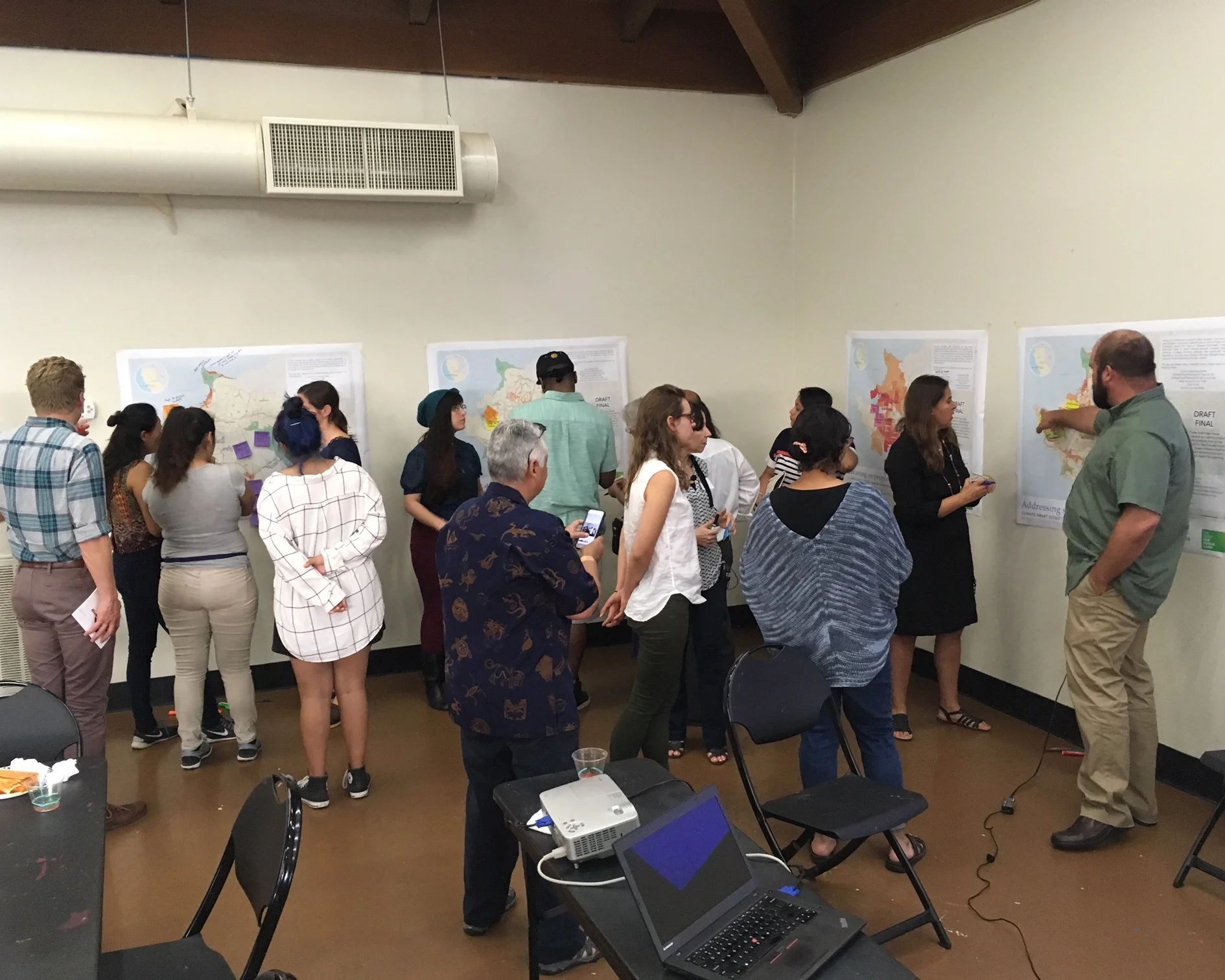
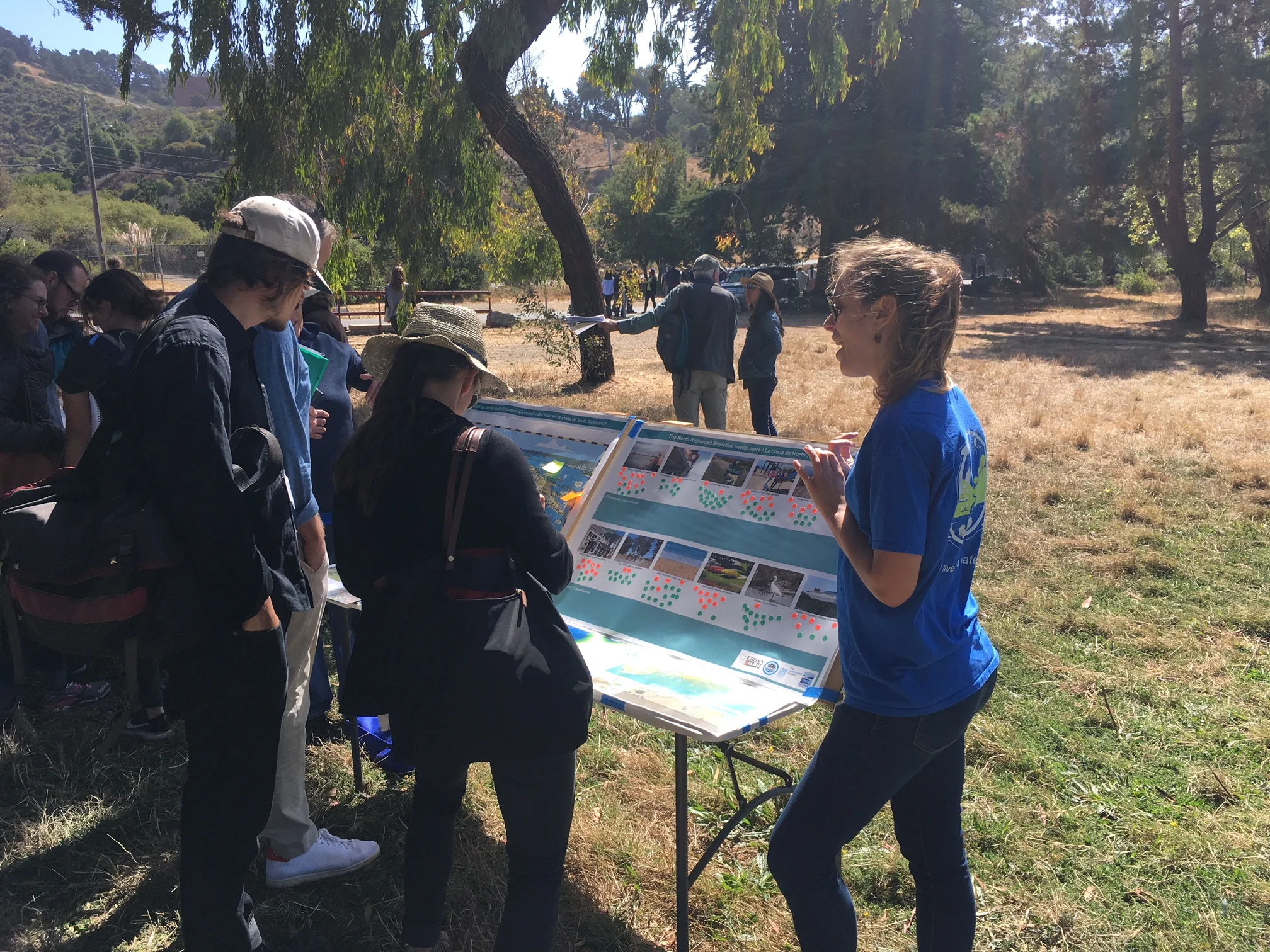
Community and stakeholder engagement work to create a Shoreline Vision that recommends strategies for preserving open space and appropriately siting future development to meet community needs: North Richmond Community Visioning: Outreach and Survey Findings Report, note the final North Richmond Shoreline Vision will be posted online when available.
Hopefully, these resources can help Design Teams create thoughtful, holistic designs that are restorative of environmental justice in both the human and natural worlds.